
AI CityOne
The entire city on one screen
Smart city integrated control operation platform.
It integrates CCTV, IoT devices, and city data on a GIS map to show all situations in the city at a glance.
- underlying technology
- GIS/IoT based smart city integrated control
- core strengths
- Single screen integration of city data and control systems
- How it works
- Real-time connection, event management, AI interactive analysis
When an event pops up
Location and video open together
Check what happened and where on the map, and watch the on-site video from there.
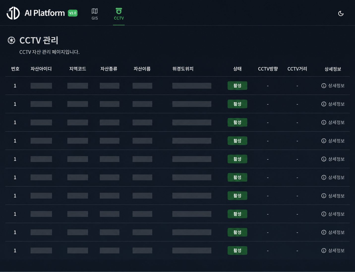
On-site videoCCTV
- Region code
- Type
- Coordinates
- Status
Joint response from related organizations
PoliceFireMedicalAdministrative agenciesEvent occursAn event occurs at one point in the city.Location on the mapCheck what happened and where on the map.On-site videoWatch the on-site video from there.Joint response from related organizationsIt leads to the joint response system of police, fire, medical and administrative agencies.
On the real screen
it looks like this
Visualize the location of CCTV and IoT devices on the map, and check the event occurrence point and on-site video together.
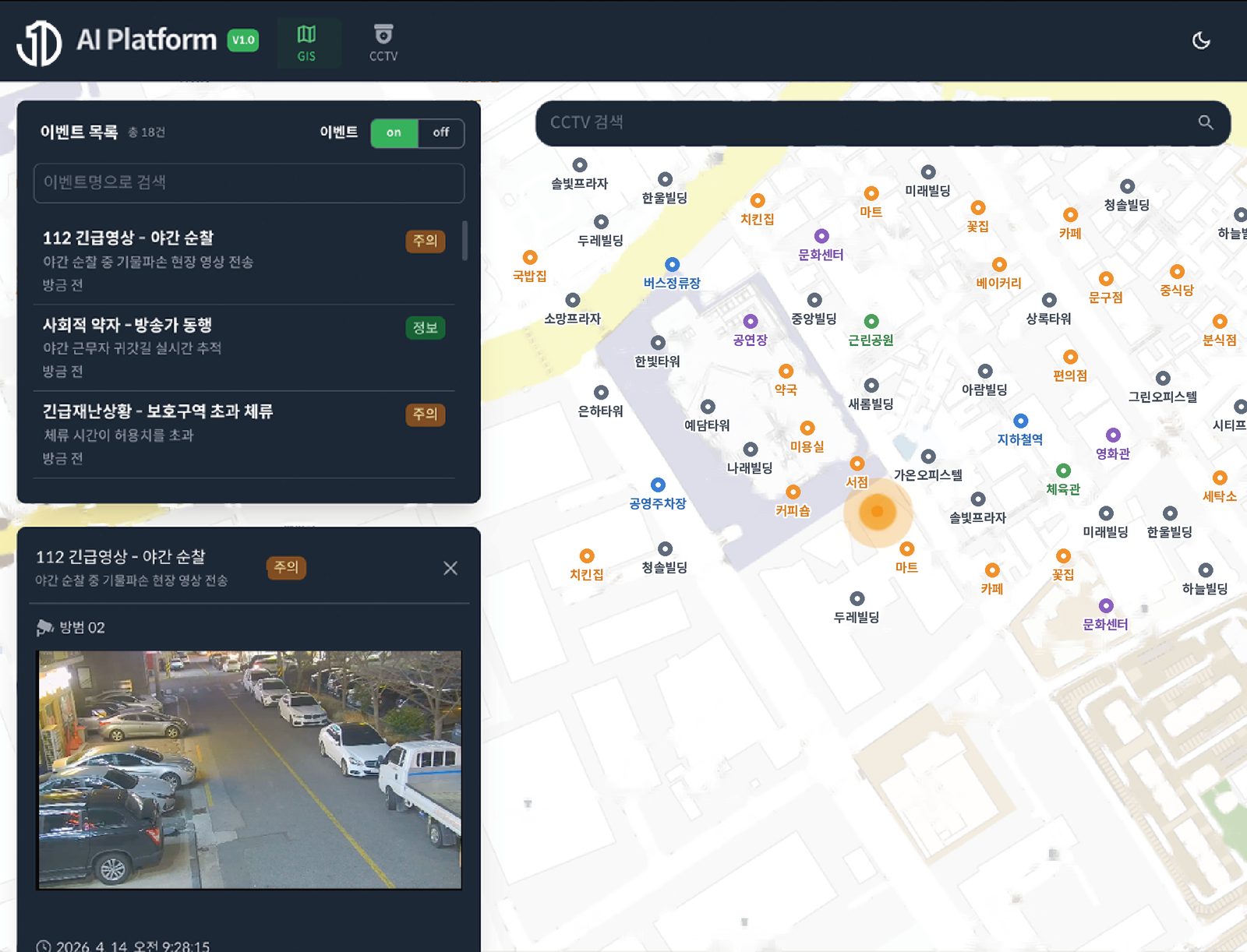 event occurslocation on the mapOn-site video
GIS integrated controlVisualize the location of CCTV and IoT devices on the map, and check the event occurrence point and on-site video together.
City equipment and solutions
gathered in one place
Events and status of field equipment are collected in real time, and analysis results from other solutions are utilized in the same environment.
Real-time IoT connection
- CCTV
- kiosk
- smart pole
- parking equipment
Solution linkage
- AI Eyes Onevideo analysis
- AI Data OneOntology
- AI Agent OneAutomatically generate reports
Joint response from related organizationsPolice, fire, medical, administrative agencies
Application field
- GIS TOWERGIS control towerIntegrated visualization of CCTV footage and IoT data from across the city on a map
- AGENCYRelated organizationsJoint response system of police, fire, medical, and administrative agencies and support for five major linked events
- CITY OPScity managementProvide solutions and response directions to managers based on city data analysis results
- EXTENSIONextended serviceFlexibly linked with various city services based on global standards
Connecting cities
Faster response
- Integrated visualization of urban situations
- Check dispersed city information on one GIS screen
- Speed up event response
- Immediately link the location of occurrence and CCTV footage
- City data standardization
- Integrated management of traffic, environment and safety data
- Strengthening joint institutional response
- Links police, fire, medical, and administrative information
- Automation of operational tasks
- Reduce repetitive tasks with AI analysis and report generation
- Securing service scalability
- Flexible system connection based on global standards